Software-Defined GPS Receiver
Anthony J. Corbin | Dr. In Soo Ahn
April 10th, 2008
I've completed the threaded software. The software results in the same position but takes approximately 1/2 the time.
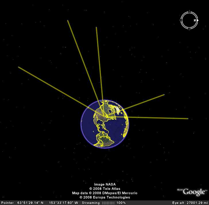
In addition, I've written a class to control Google Earth through COM calls. Presently, the class supports line drawing, placing icons, and positioning the camera.
Figure 1, below, shows an example where the software was used to draw lines between the satellite positions and the receiver position.
Figure 1 - GPS Satellite Positions